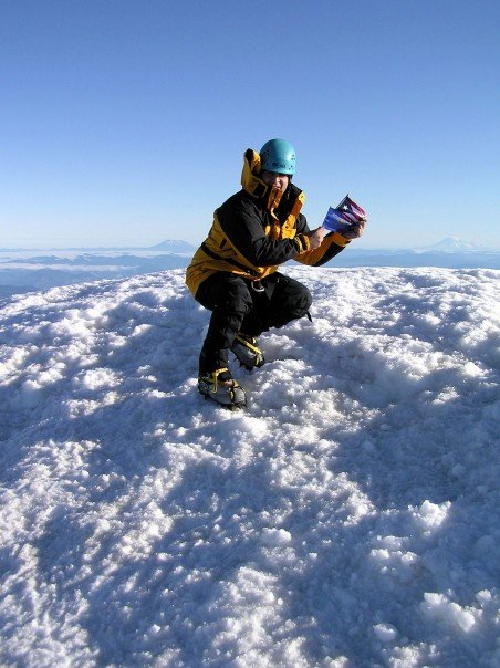
Mt. Hood,OR 11,249ft. USA 6/30/05
Mount Hood (called Wy’east by the Multnomah tribe), is a stratovolcano in the Cascade Volcanic Arc in northern Oregon, in the Pacific Northwest region of the United States. It is located about 50 miles (80 km) east-southeast of the city of Portland, on the border between Clackamas and Hood River counties.
Mount Hood’s snow-covered peak rises 11,249 feet (3,429 m) and is home to twelve glaciers. (Older surveys said 11,239 feet, which is still often cited as its height). It is the highest mountain in Oregon and the fourth-highest in the Cascade Range. Mount Hood is considered the Oregon volcano most likely to erupt, though based on its history, an explosive eruption is unlikely. Still, the odds of an eruption in the next 30 years are estimated at between 3 and 7 percent,[9] so the USGS characterizes it as “potentially active”, but the mountain is informally considered dormant.